CONSULTANCY SERVICES
Updating of forest boundaries according to orthophoto.
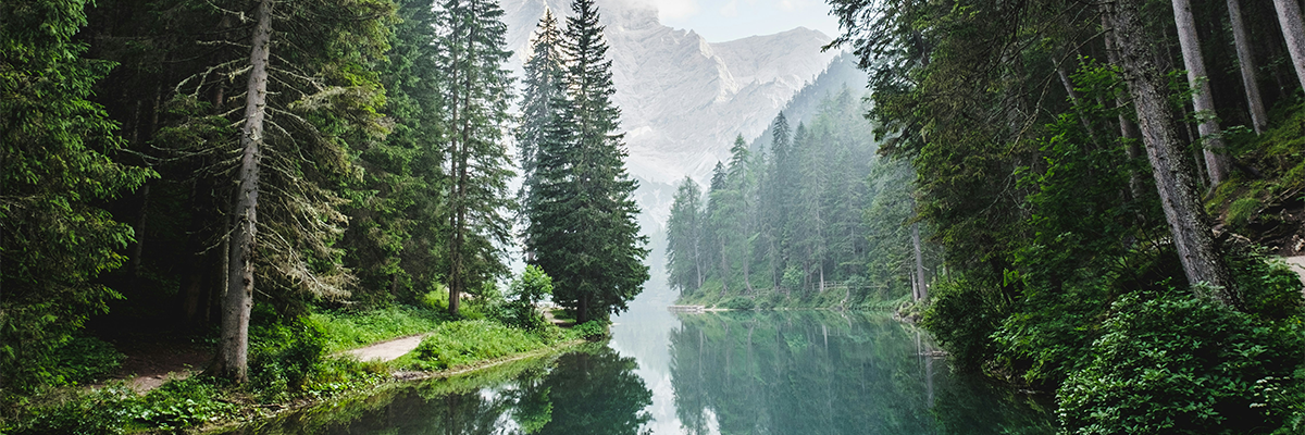
We supported the client to prepare Updating of Forest Boundaries According Orthophoto images.
Project
May. 2023
Location
Italy
Client
Arcadia SIT
Liguria Region, Italy
Expertise
Photo-interpretation and classification Updating of boundaries according to forest types based on orthophotos
Opportunity
Updating of forest/non-forest boundaries for a large area of Liguria Region in Italy, based on GIS activities according to forest areas according the Italian National standard technical specification “INTESA GIS”.
Solution
Main activities provided:
- Production of forest maps at a scale of 1: 25,000
- Identified of sample areas and analysis of satellite images.
- Verification using ground survey instruments.
- Photo-interpretation and classification on the basis of the main species contained in each polygon
- Specification of the types of forests for the recorded forest areas.
- Topological check after the update is complete.
- Control (check) according to tools.
- Automatic and manual quality tests