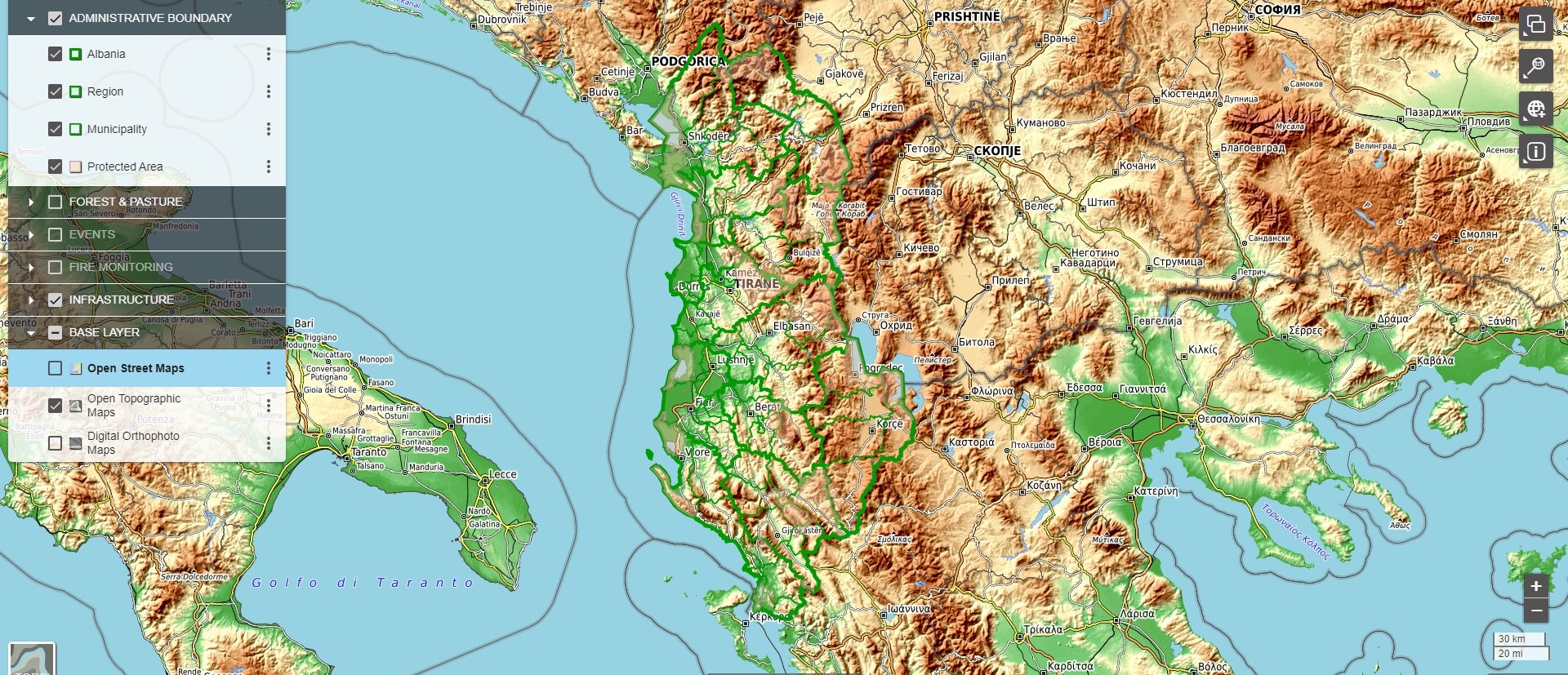
Geographical database
Our company in joint with the partners from more than 7 years play a role in managing spatial data effectively, enabling informed decision-making, and supporting a wide range of applications in diverse fields.
Geographical database tasks involve the creation, management, analysis, and utilization of spatial data to support various applications in fields such as land and urban planning, environmental management, cadaster, transportation, and more.
A brief overview of our geographical database services is:
Data Collection and Integration: Geographical database tasks often begin with the collection of spatial data from various sources such as satellite imagery, surveys, GPS devices, and government databases. This data is then integrated into a centralized database, ensuring consistency and accuracy.
Database Design and Management: Geographical databases require specialized design to efficiently store and manage spatial data. Tasks include defining data schemas, establishing relationships between spatial and attribute data, and optimizing database performance.
Data Analysis and Visualization: Geographical databases enable powerful spatial analysis, allowing users to perform tasks such as spatial queries, proximity analysis, spatial interpolation, and network analysis. Visualization tools are used to represent spatial data in maps, graphs, and charts for better understanding and decision-making.
Spatial Querying and Retrieval: Geographical databases support spatial querying techniques to retrieve information based on location-based criteria. Users can perform queries such as point-in-polygon, nearest neighbor, and spatial joins to extract relevant data from the database.
Geocoding and Reverse Geocoding: Geographical databases often include tools for geocoding, which involves converting textual addresses into geographic coordinates, and reverse geocoding, which converts coordinates into readable addresses. These tasks are essential for location-based services and spatial analysis.
Spatial Indexing and Optimization: Efficient retrieval of spatial data is critical for performance in geographical databases. Techniques such as spatial indexing are employed to organize spatial data for fast query processing and optimization of spatial operations.
Data Quality Assurance: Ensuring the accuracy, completeness, and consistency of spatial data is essential for reliable analysis and decision-making. Geographical database tasks include data validation, error detection, and quality control measures to maintain data integrity.
Metadata Management: Geographical databases store metadata, which provides information about the spatial data such as its source, accuracy, and update frequency. Managing metadata is crucial for data documentation, version control, and ensuring data provenance.
Integration with GIS and Other Systems: Geographical databases often integrate with Geographic Information Systems (GIS) and other software systems to provide spatial analysis capabilities. Tasks include data exchange, interoperability, and customization to meet specific application requirements.